Home / Directory / List Media Source /
Detail
Media Source
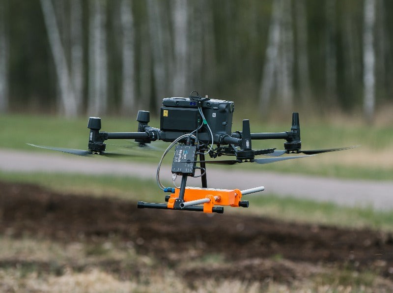
Drone GPR (Ground Penetrating Radar)
By : Indonesia
29 May 2024, 19:55 PM
Views
959 Views
Download
1 Downloaded
Share With Friends
Ground Penetrating Radar (GPR) is a non-destructive detection and imaging method which identifies subsurface elements either underground or within a surface such as concrete. Ground Penetrating Radar (GPR) technology involves the use of radar pulses to image the subsurface. When integrated with drones, it becomes a powerful tool for non-invasive surveying and mapping, offering several advantages in various fields.
Drone-based GPR is a transformative technology that enhances the ability to survey and map subsurface features efficiently and safely. Its integration into various fields highlights its versatility and potential for future innovations.
Advantages of Drone-based GPR
- Accessibility: Can reach remote or hazardous areas without risking human safety.
- Efficiency: Covers large areas quickly compared to traditional ground-based methods.
- Cost-Effectiveness: Reduces labor and time costs associated with extensive ground surveys.
Applications
- Archaeology: Non-invasive exploration of archaeological sites to detect buried structures and artifacts.
- Geology: Mapping geological features, such as bedrock, faults, and cavities.
- Environmental Studies: Identifying subsurface contamination, locating underground utilities, and monitoring groundwater.
- Construction and Infrastructure: Assessing ground conditions, detecting voids, and ensuring the safety of construction sites.


