Home / Directory / List Media Source / Detail
Media Source

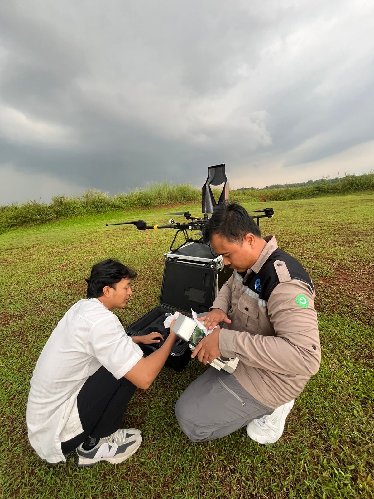
Land Mapping Using LiDAR Technology in the BSD City Area
By :
26 Apr 2024, 00:00 AM
Views
348 Views
Share With Friends

LiDAR mapping is carried out in stages. The initial stage carried out is a reconnaissance survey in the area to be worked on, then the installation of temporary Benchmark (BM) points which will be installed according to the conditions at the work location later. After installing and measuring the BM, the acquisition process is then carried out to retrieve LiDAR flight data using a pre-planned trajectory, and ensure that the data to be acquired meets the Area of Interest and must be accurate. The output from LiDAR Survey mapping is a list of coordinates, ortho maps, contour maps, pointcloud, DSM, and DTM.


